In a move to check illegal mining operations in the district, Differential Global Positioning System (DGPS) survey is set to begin in the Jalandhar from next week.
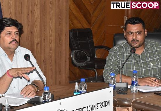
Presiding over a meeting with heads of various departments including irrigation, panchayats, Public Works Departments, Additional Deputy Commissioner (G) Major Amit Sareen said that a team of Rian Enviro Private Limited would arrive next week in the district and start survey of sites adjoining to Sutlej River and other agriculture lands following which they would prepare district survey report. He said that DGPS is an enhanced method than Global Positioning System (GPS) which provides improved location accuracy.
Sareen said that the demarcation of all mining sites through Differential Global Positioning System (DGPS) would ensure no hindrance to the legal mining operations. He also asked Panchayat officials to identify the agriculture lands near the river from where sand or gravel could be extracted so that such sites could be also taken in the survey report.
The Additional Deputy Commissioner asked the officials to give fulsome support to the survey team so that it could complete the DGPS work without any hindrance.
He said that SDMs would oversee the functioning of DGPS survey team and provide assistance in case of it faced any issues.
Also read: Remnants of Pinda gang in Police net, 13 shooters among 19 held
He also told them to ensure that legal mining operations must not be affected so that common people do not suffer any kind of difficulty in getting the sand.
Prominent amongst present on the occasion included SDMs Lal Vishwas Bains, Randeep Singh Heer, Executive Engineer irrigation Gurtej Singh Garcha and others.
